Magnetawan First Nation
Highway 69 Expansion – Land Use Study
The Ontario Ministry of Transportation (MTO) was seeking to widen Highway 69 from Parry Sound to Sudbury, creating a four-lane highway with road realignments, new overpass bridges and potential impacts on communities and the environment. The proposed corridor passed directly through Magnetawan First Nation reserve lands and their broader traditional territory.
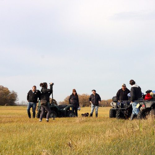
Our consultants coordinated a Traditional Land Use Study with Magnetawan First Nation and the Ministry of Transportation to document traditional hunting, fishing and gathering, occupancy and settlement movements over time, and the use of sites for cultural, medicinal and ceremonial purposes.
Our work included significant community capacity building for undertaking land use and occupancy mapping, oral history interviews, the use of videography for interviewing and geographic system mapping.
Project Impact
Overall the study resulted in increased understanding and trust among the parties, value for the community in terms of knowledge documented, culture building and capacity building and improved decision making among all parties to mitigate the potential effects of the project.
Summary
Magnetawan, ON
2012 – 2013
Expertise

Indigenous Knowledge and Land Use Studies

Technical Peer Reviews

Multimedia Storytelling

I found the use of video and the visit to important places/traditions in the community to be a unique and irreplaceable component of the study that I am sure will be a legacy for the community.
– Ontario Ministry of Transportation
Want to know more about what we could do with your community? Let’s chat.