
WELCOME
Indigenous Nations across Turtle Island are taking the future powerfully into their own hands. The opportunities for economic advancement are abundant. At the same time, it’s never been more important to protect the lands and waters that sustain us all. In the face of climate change and the cumulative effects of development, seeking to balance it all is no easy task.
As Indigenous leaders, you know where you want to go. We are here to help.
Shared Value Solutions is an environmental and community development consulting firm. Our team of science, cultural heritage, planning and regulatory experts is committed to braiding Indigenous Knowledge with western science to further our clients’ goals of prosperity, stewardship and self-determination.
Learn more about us here.
We invite you to check out our many free resources below. Better still, reach out — we’d love to get to know you.
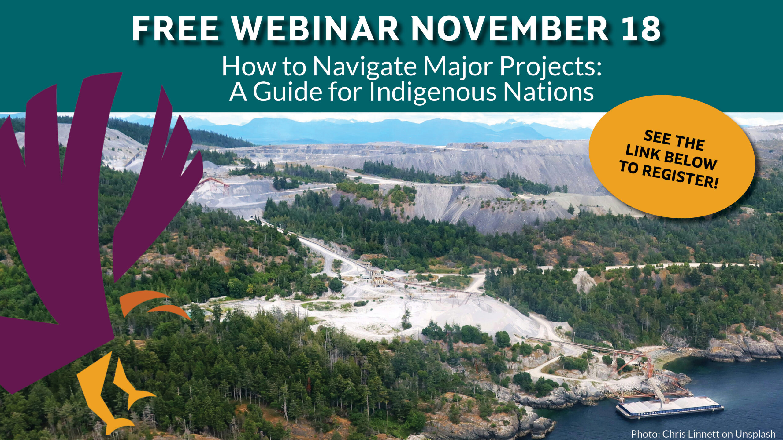
As new major project processes take shape across Canada, Indigenous Nations have important decisions to make about how and when to participate.
Join us November 18th 1-3pm EST to explore practical ways your Nation can navigate these processes strategically, protect your rights, interests, and territories, and pursue stronger outcomes that advance the prosperity and well-being of your community and citizens.
Includes a Q&A session
CELEBRATING NATIONAL INDIGENOUS HISTORY MONTH
JUNE 2026
This past year, our team was honoured to work alongside Doig River First Nation to help tell the story of K’ih tsaaʔdze Tribal Park—its deep spiritual and cultural significance, and the importance of protecting it. The video we created explores the significance of this land and how it continues to hold meaning for community members despite both historical and ongoing pressures from industry and external interests. Centered on a sacred site, it speaks to the community’s desire to heal and restore the land, alongside their commitment to reclaiming stewardship and jurisdiction for future generations.
In celebration of National Indigenous History Month, we are proud to share this work as an example of a community coming together to protect what matters most—guided by and grounded in their values.
THE LATEST
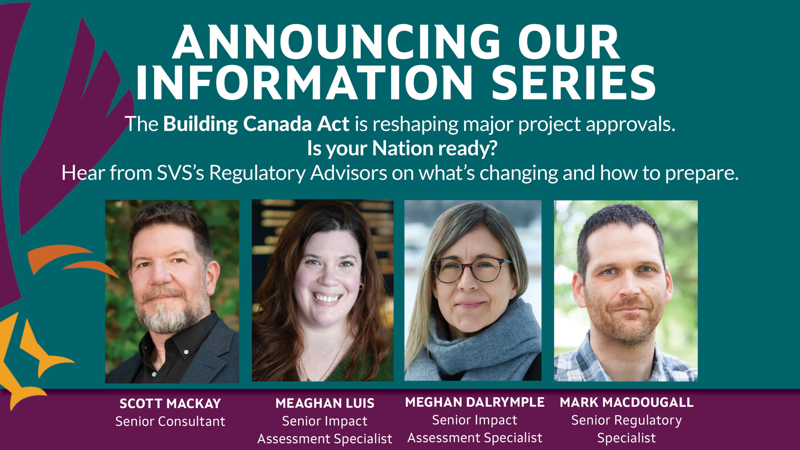
Click below to read the first blog of the series!
Read more here.

LANDS AND CONSULTATION STORIES OF SUCCESS
Read an in-depth interview about the Cook’s Ferry lands department development journey. In particular, she speaks of what led to the decision to outsource, the benefits of that choice, and her vision for the future.
Click here to read about their success! https://hubs.ly/Q03zP3DG0
To access the complete Lands and Consultation Department Guidebook, click here: https://hubs.ly/Q03zP0Xv0

Junior Consultant and Project Coordinator- GIS and Technical Services
We’re looking for a candidate with a Diploma or certificate in GIS, Geomatics, Geographic Information Systems, or a related college program, combined with relevant practical GIS experience, or an equivalent combination of education and experience. The candidate should be a well-rounded early-career professional who brings practical GIS skills together with an interest or foundation in other areas of our work. This role has a dual focus: supporting GIS services across all projects while also contributing to other service areas at SVS such as Science, Regulatory, Social Research, and Planning. Learn more and apply here.
FEATURE DOCUMENTARY VIDEO
FLOOD PLAIN MAPPING IN MAGNETEWAN FIRST NATION.
Click here to learn more about our Climate Change services.
FEATURED RESOURCES
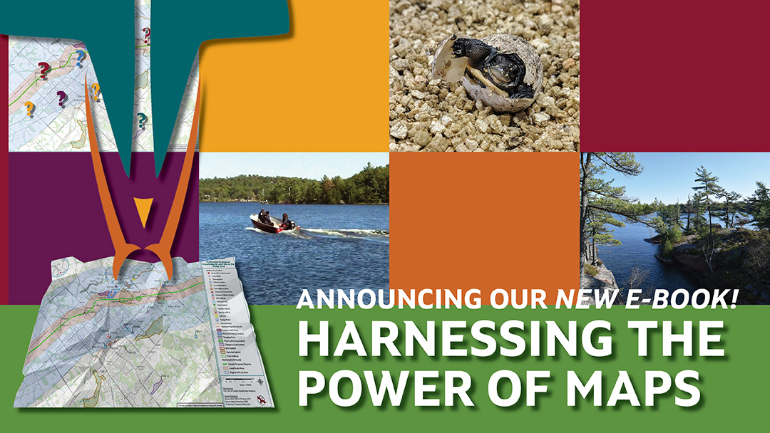
Harnessing the Power of Maps- A GIS Intro Guide and Ideas Bundle for Indigenous Nations
Our FREE eBook explores the power of mapping and GIS in supporting Indigenous Nations to advance their Rights and interests. Learn what GIS is, how it works, and some of the amazing things you can do with it to protect what matters and plan for the future.
Click here to download your copy!
Indigenous Data Sovereignty
In this post, we share our Indigenous Digital Maturity Assessment Tool (DMA) as a first step in the journey to data sovereignty. The results of the DMA give you a first glimpse into the state of your Nation’s data. What are these different states and what do they mean? We explore the different data states in this blog post with an explanation of each one.
Read the post here.
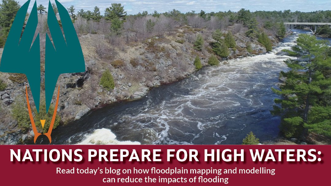
How are Nations using Floodplain mapping to reduce flood impacts?
Click here to read first hand accounts and stories from our Clients.
HIGHLIGHTED FUNDING
First Nation Infrastructure Fund
The First Nation Infrastructure Fund (FNIF) helps First Nations communities upgrade and increase public infrastructure to improve the quality of life and the environment in First Nations communities.
More info here.
Clean Energy for Rural and Remote Communities Program. No deadline
The Clean Energy for Rural and Remote Communities program provides funding for renewable energy and capacity building projects and related energy efficiency measures in Indigenous, rural and remote communities across Canada.
More info here.
Emergency Management FireSmart Program
The Emergency Management Assistance Program (EMAP) provides funding to First Nations communities so they can build resiliency, prepare for natural hazards and respond to emergencies.
More information here.